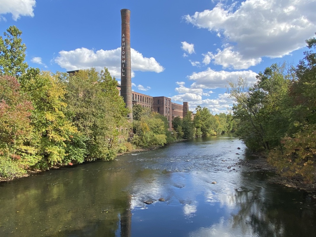
Maps & GIS
Figures, maps, and spatial data for the Narragansett Bay region.
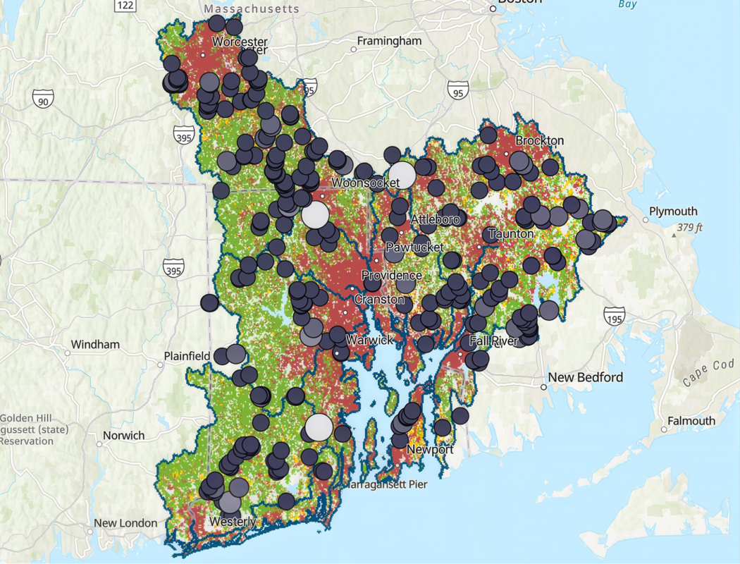
GIS Data Hub
Spatial data for Narragansett Bay, Little Narragansett Bay, the coastal ponds, and their watersheds.
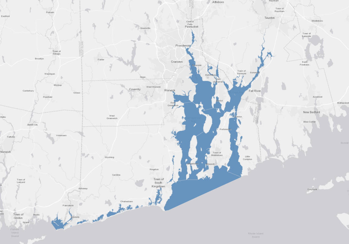
Storymaps
We synthesize data on environmental conditions and trends to inform management and research focused on restoring and protecting water quality, wildlife, and quality of life in the Narragansett Bay region.